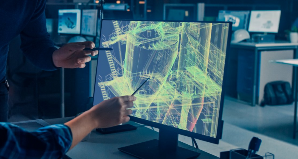
3D laser scanning
- Surveying buildings with complicated spatial configurations using 3D scanning systems
- Combining partial scans into a single whole
- Linking 3D scans to state or local reference coordinate systems
Using modern technologies such as 3D scanners, we can quickly obtain comprehensive data for buildings or areas and then use this data to create 3D documentation. These technologies can be used for technical design work and landmark documentation.
We use several types of modelling and evaluation software and can tailor output exactly to the client’s needs.